Monday, December 20, 2010

Down by the river

I took a truck load of paper recyclables to the Bisbee refuge center late this morning. The dogs had been watching me and knew I was going somewhere. They colaborated with one another and then stormed the front door at the first chance. They were determined to go with me and made their wish known to me. Since they weren't walked yesterday and today's probably their last walk for a while, I caved in and let them come with me on the 22-mile ride across the beautiful San Pedro Valley, despite knowing they would slow me down.

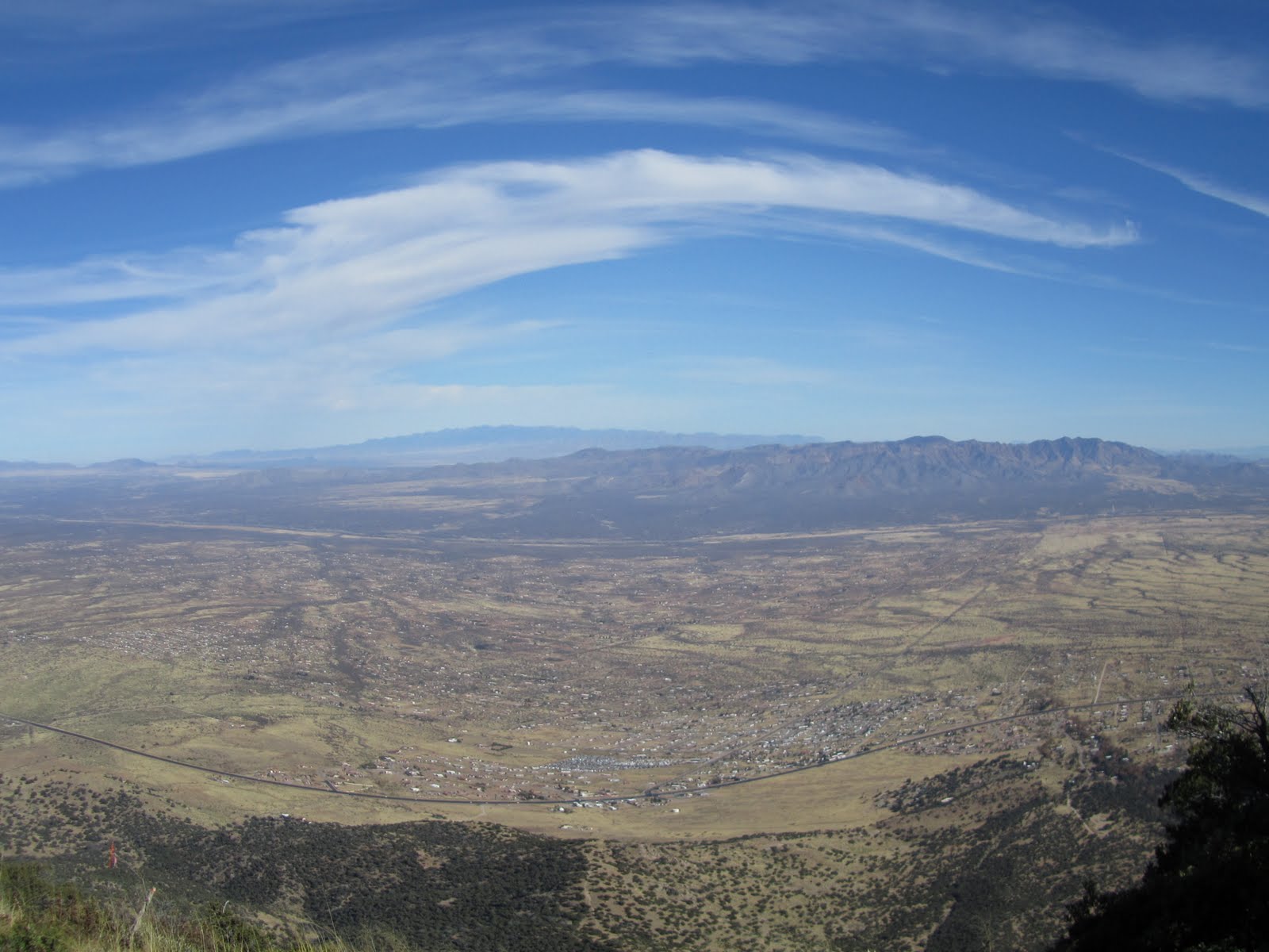
I will always love the view. San Jose peak south of Naco, Sonora is such a prominent landmark, and looking at it always reminds me of what I am missing: those care-free days when a day trip into Mexico was a fun-filled exploration of people, flora and fauna. With the drugwars among the cartels hitting the northern borderlands hard, that part of the world is no longer safe.

The dogs were anxious to get out of the vehicle and got restless as we crossed the river, their known spot to run and romp along the river. I had to get to Bisbee first and drop the paper goods off first, then drove back to the river for some fun, and my soothing voice did not calm them much.

My trip at the recycling depot was as short as possible so that I could put the dogs at ease.

Even Sara was like a puppy again once we were back at the river on the return trip. All three frolicked in the water. Sadie was high-energy and chased the other two. All three sniffed, rolled around in, splashed around in and generally had a blast for the one-mile walk along the river. I hadn't taken the dogs here in a long time; it was nice to be back here again along a pretty birding site.

A hawk couple circled overhead. A few other birds chirped and gawked. A snowy egret was waiting for a snack along the river.

Recent beaver activity was evident along the river. I simply enjoyed watching the dogs play.

It was a little windy and dusty today but mild enough to walk around in a t-shirt. The storm that's pounding central and southern CA will hit us in a few days, but by then I'll be freezing in Indiana.

My trip to Bisbee and back along the river and home again took me two hours. It was the fastest two hours of fun for the dogs.

Sunday, December 19, 2010

Miller Peak


Ellen and I did a solo hike up Miller Peak yesterday. We had talked about doing this hike before year's end and we did it. Two others cancelled out so instead of a strong group going, it was just us two and Sadie. I hadn't done this stretch as is since 2005.

That turned out to be ideal. Although the temperatures at first were cold and I never took my outer blue fleece jacket off till 1pm, it turned out to be a wonderful day for a hike. The rain we got a few days ago left only a little snow on the peaks. Our day hikers were fine for this hike,, but I wore three layers over my torso.

We started out at 8:45am at Reef Campsite, where we usually start, and went up the usual Carr Peak Trail. There were no other cars around, and we didn't see anyone till two miles from the finish at 2pm, a young couple going up to Carr Peak.

We saw and heard several chickadees and one solo hawk. A lone lizard and a black beetle were also spotted, but otherwise it was a quiet hike. The howling wind was the only thing we heard.

I felt out of shape. For the first time since coming back from CA, my lungs were burning. That's from having been sedentary the last three weeks of the semester! This 12-mile r/t hike made me realize I can not let myself go.

Sadie loved the snow and frolicked in the dusting we had under the aspen groves. It was no more than a half-inch thick, which got to an inch thick below Miller Peak. She got her water from eating the ice, but ate voraciously from the chicken jerky I brought along. The cold didn't seem to bother her at all. She did all 12 miles like a champ.

We didn't stay up the peak for long. At 11:45am the winds were howling and it was quite cold up there. Ice was melting off the pine canopies and left pretty crystals on the ground. Views were, as usual, spectacular, but there was a brownish cerrus cloud over the Santa Cruz valley that was moving southward. There was much haze all around.

We didn't rest anywhere for long because stopping chilled us. The bathtub that I had cleaned out earlier this summer was dirty again, filled with algae and pine needles. The good news is that except for one large black plastic bag (most likely used as a sleeping bag), there was no other trash around.

This is a wonderful trail for training. The nice thing about this hike is that the trailhead is only nine miles from the house, six of which are on the forest road up the mountain. Ellen is the perfect hiker for me as we both have a strong pace going uphill and we don't stop often or for long. There are a few others who hike like that: Brenda and Debbie come to mind. Ellen and I agreed we should get together more often and contine doing these challenging hikes. We said that Finger Rock in Tucson would be a good start. It's a ten-mile, steep hike north of town. No dogs are allowed, though. I definitely plan on hitting Tucson more often next year to stay in shape. I need these challenging hikes more often.

Saturday, December 11, 2010

Our annual hiking club picnic

Today was our annual hike along the San Pedro River. Weather couldn't be any nicer, topping near 70F with sunshine while the Upper Midwest, including Chicagoland, was blanketed with 20 inches of snow from a storm that started in the Pacific Northwest on Friday.

Too bad I soon developed a headache after waking up, a headache behind my eyes that felt like an optical migraine in the works. I quickly t

ook two aspirins and the headache didn't develop into anything more serious, but on my drive to the old Fairbank historic site along the river east of Whetstone, I worried about what seems to be an increase in my mini-migraines. This was my fourth one in two weeks. (None have developed into any debilitating pains but are still a nuisance.)

I was so preoccupied with my headache that I did not notice the intersection of Highways 90 and 82 where I had to take a right (east) turn. I didn't even notice anything was wrong until I ended up waiting in line at the Border Patrol checkpoint north of Whetstone. That delay caused me to be 13 minutes late. People who had gathered at 9am promptly left on time for the scheduled 9am hike, just as in years past.

I was able to get caught up with everyone, though, as Sadie and I powerwalked the mile it took me to find the first four of the group: Eric, Marlene and Andrea. The others, Susan and Peter, Little Steve, Paul, Rod and Cassie, Gordon and his nephew whose name I never got were waiting for us at a shady bench. Carol and Cliff were also there, but they turned around at this point to return to the picnic area.

The dead grass and naked mesquites around me all looked dull. The entire landscape consisted of hues of brown, tans and khaki.

A southbound low-flying two-seater plane was today's curiosity. "That's a drug plane returning to Mexico" said I. No one disagreed.

Most of the group turned around at 10:30am. I wasn't ready to go back yet and went with Eric and the gals and Rod another mile to the old Presidio/Chapel location on the west side of the river. There's not much there but historical markers. Marlene and Andrea found some shards and I took a few photos of the crumbling adobe walls. The river has eroded so much of the hillside that it's hard to imagine how the presidio must have looked in its heyday.

Crossing the river took some skill as it was deep enough to get the shoes wet. We crossed back over at 11:15am, with me in the lead. The others lingered longer so I just went on at 11:30am and made it back to the picnic area at 12:13pm as everyone was already gathered and eating chicken. This routine is rather comical to watch: several older members don't come to any functions all year except for this one, and then just to eat and run.

Eighteen people showed up, two less than last year. I was a little disapponted in the showing but perhaps next year I'll be one of the absentees. Brenda and Debbie were out caving and weren't there, Bill was absent and several others I was hoping to see were also MIA.

The dogs got along fine. Sadie snapped at Angel whow as barking the entire time (annoying several others). Sadie didn't mind Chalita who was sitting near me. Sadie got all my chicken skins and a few more from others. Everyone lauded her for her good behavior on the trail. She does great as a hiking dog. It's when she's around small, strange dogs that she sometimes loses patience.

More later

Monday, December 6, 2010

Short walk up to the reef


Has it been a month since my last substantial hike? With warmer weather back and a needed break from my studies, I decided to take all three dogs with me to the reef overlook. It's a short, secluded hike. Maybe "hike" is exaggerated. This is more like a walk of around two miles.

We hiked up to the overlooks, stayed there to drink water, and came back down. There was no wind today. Didn't see any raptors, didn't hear any ATVs and didn't see any trash.

It was a nice hour alone. The forest road from the trailhead seems to be an old camping area near abandoned mines. Lots of low-growing manzanitas lined the trail but on a hot day this would be a hot and exposed trail. I came here strictly for the views and the solitude.

The dogs knew the way and stayed close, while I tried out my new Canon SX210IS. My S90, sadly, seems to have died on me last weekend, rather prematurely. (I keep getting the "lens error" message on that thing.). I hadn't dropped the camera, but was getting hesitation with the lens cover. It wouldn't always open all the way. The problem this time was that I had taken several photos just before my "lens error" message. I was walking a trail at slow speed and photographing ant hills when the fatal message came.

Until I can figure out what is wrong with the S90, I bought another camera via Amazon that was on sale for $199.

I played around with the new camera. This thing even has (faux) fish eye capabilities. Wow. Makes the sky look cool. The camera is a bit heavier than my S90 but takes better video. I hope this one lasts me longer than the S90. I do miss my S90, though.

Saturday, November 6, 2010

Ash Creek in the Pinalenos


Distance: 9.4m
Elevation: 3400-5500
Time: 6.5 hours

This was meant to be a fall foliage hike. Although we saw some colors, I'd say the peak hasn't hit this mountain range yet.

Weather was in the 70s. A beautful day to hike.

There are several Ash Creeks in southeastern Arizona. Most people go to the one in the Galieros, where there are red maples that add reds to the color scheme. Several hiking groups had trips planned to the other Ash Creek. Our venture to this more isolated Ash creek proved to be ideal as we had the long trail to ourselves and weren't bothered by other peoples' chatter. It's hard to enjoy the wilderness with the cacophony of human voices in the background.

We drove through Safford, then west on Thatcher and turned south in the Mormon community of Pima, where cottonfields were waiting to be harvested. I never knew we had cottonfields in this part of the state. The last time I was in this area was in March 2009 when we spent a long weekend on the San Carlos Apache reservation.

The only thing not so good about the hike is that we parked too far from the actual trail. It wasn't our fault (the forest road to the trail head is badly eroded and not recommended for vehicles). We hiked 2.87 miles on the exposed road, all uphill, before we hit the forest boundary. That was more than half the entire hike. What saved us was the mild weather and a slight breeze. After an hour of climbing we could see far into the Safford Valley.

And then we missed the actual trail turn-off! Who would have thought to look more into the intersection to see the sign. The sign was too far inset to see it well, and that is how we ended up exploring along the creekbed, walking through thorns and stubborn vines. We came across some beautiful swimming holes that were off the beaten track, Sadie got her water, and I took, by the end of the day, 457 photos.

Today's hike was both a photo op and a hike for me. It was the perfect hiking group because Steve and Rod are both explorers at heart and don't mind exploring off the beaten path. I would not have felt comfortable doing this exploration with anyone else in the hiking group as there are some people who are strictly old school about hiking and everything has to be perfect. Today we were an intimate group that hiked at the same moderate pace. I was the slowest one because I stopped to take photos.

None of us had been up this trail which made the exploration even more fun. The colors hadn't peaked yet though. We still were among a lot of green, some yellow and that was about it. Once we found the real trail we continued up the trail for another hour but rested and then turned around at the 4.75-mile mark, where we ate a late lunch in the shade and returned the same way, staying on the trail.

Had we stayed on the trail and continued uphill, we would have hit the Swift Trail near Mount Graham, nine miles uphill. Most people who come to this Ash Creek explore from the upper elevation and don't go too far downhill. It was tempting to continue uphill as the forest aroma was so invigorating, but my body and the limited sunlight kept me from going on.

Our hike took us 6.5 hours. We stopped at the Salsa Fiesta in Willcox for dinner, dropped Rod off in Benson and we were both home by almost 8pm, making it a long day. Sadie was whining from thirst, I downloaded and looked at all the photographs (I was pleased with most) and felt good to have had a day off from studies to explore a new mountain range. I'd definitely go back to those peaks and explore some more. As mild as a fall as we have had, there will probably still be color in the trees two weeks from now.

Saturday, October 30, 2010

Carr Peak in October


Today's hike up the peak was a windy blast. Ellen had asked if I wanted to hike up the peak with her a few days ago. Since I didn't hike up the summit last week, I immediately said yes. Like she said, this peak is close by, one gets a work-out and one still has most of the day ahead of them. This was also a great way to get my monthly trek up this summit out of the way.

There were three of us: Ellen, her friend Otto, and I. A fourth person never showed up.

We got to the trailhead just before 9am. The colors were clearly past their prime. The aspens were naked and the ash were now in their yellow hues. Many of the ebony oaks were brown. Columbines were edged in red. The salvias were gone. In fact, we saw very little wildlife except for a few butterflies. No raptors, no rodents. Just lots of people wanting to get to the peak or to Miller a few more miles away.

The wind picked up 1/2 mile from the peak. Ellen and I had to hold on to our hats as we scurried up to the summit. The AmeriCorp workers from last month had cleared all the downed trees for us, which made getting to the top a lot easier.

Several young people were at the summit. The gal took our photos. They were on their way up to Miller Peak, making their hike 12+ miles.

Ellen and I agreed to get together before the end of the year and tackle Miller peak. From the upper Reef campground it's a 12-mile hike to Miller Peak. I'd like to get it done in November before it gets too cold. I'm stoked to have found a like-minded woman who hikes at my pace and who enjoys getting out even for last-minute hikes. Even Otto seems to be a strong hiker and I'm sure I'll see him again.

I met Jeffrey on the way down. He and his wife Cyndi had joined me and several others up the Marshall Gulch trail in August. Today he was going to the peak with another man, but Cyndi was at work and the black lab stayed at home.

We made it back to our cars around 12:10pm, so the entire hike was no more than three hours long. Now that's what I call a work-out.

Sunday, October 24, 2010

East Hunter Canyon Trail


Distance: 3 miles
Elevation: 5900-6900'
Time: 2 hours, leisurely pace

This is a short trail built in the 1980s by a local Girl Scout troop. It ends in a lush canyon of an old homestead a mile from the Miller Wilderness sign. I don't even think it's an official trail anymore except for illegals who come down the canyon from the Crest Trail. It's steep and scenic and today I took all three dogs with me because I didn't have the heart to leave Sara and Sammy behind.

Fall colors are in full bloom along the Crest Trail, but we didn't get that high up. The actual trail ends a mile uphill, but we continued up the illegal trail that follows the steep dry creek bed. We passed a lot of Mexican trash that I took back down with me. We didn't get too far due to downed trees and large boulders blocking the way, but I was able to take a few autumn shots anyway. We went only as far as we could safely go. Even Sara had trouble pushing herself up some of the tall, steep boulders but she made it, and when at one point none of the dogs followed me up the steep embankment, I realized it was time to turn around.

It was a pleasant fall weekend, but I spent most of it studying for my English class. Today's little jaunt was just a leg stretcher up a little path few venture up.

It's actually the only safe place now that hunting season's in full swing and all the lower trails are taken by drunk hunters spying for game out of their truck windows. But even in the higher elevation one has to be careful because I found a few brass shells at the trailhead parking area.

Weather is still so lovely during the day, in the 70s, although the nights are now creeping into the 40s. I had to wear socks the last two nights to keep my feet warm.