

We met at 9:30am at the Gabe Zimmerman trailhead off East Marsh Station road. We were the only two cars there. Nina got there first, and Steve and I followed four minutes later. It was already in the 70s with little cloud cover, and it warmed up fast by 11am.

This was Nina's first time here. The expansive views in all directions, with the Catalina and Rincon mountains to the north and northeast, Santa Ritas to the south, and the lower elevations dotted with saguaros, her first comments at the panorama was "Wow!" A slight aroma of creosote filled the air as we slowly approached the creek bed and walked northwest in the wash. We would walk no more than three miles in one direction. This would show us how far the water flowed.

The Three Bridges come within 0.75 miles from the trailhead. This is also the most lush area, with tall cottonwoods and willows providing shade, and tall grasses lining the banks, and water trickling downstream. It seems as if more water has evaporated since my first time here a week ago. Once we left the bridges, the water disappeared. It got hot and dry very fast once away from the protective shade.

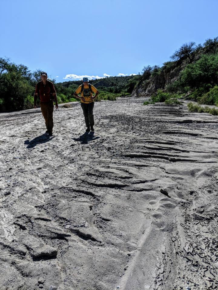
We never came across anyone else. The dogs were offleash and did very well, especially Zeke who stayed by my side. Trace on occasion chased after birds. Once we got away from the wet, lush area, both dogs walked as much in the shade as we could get. The father northwest we walked, the less shade we had, as the wash opened up and followed a railroad line. One train rumbled by going southwest. Conglomerate rock was all around us as trees gave way to dense sand, rocky bluffs and the occasional rusty artifact stuck in layers of sand. The sand was pact densely, making walking on it easy. Some parts felt more like grainy asphalt.
The wash was flanked with small willows and prickly shrubs and the occasional granite rock defaced with spraypaint. The last flash flood here rippled the sand that has now dried in the desert sun. Horses had traveled this wash recently, and we came across some coyote scat, but no other evidence of wildlife made itself apparent. It's interesting geology, but the cloudless sky and the rising heat made exploring the wash undesirable. On a cool, overcast day, though, I'd love to come back and explore the area some more. After hurricane rains, I'm sure the 12-mile protected area would beam with life.

We rested for water at the 1.6-mile mark. Both dogs by now were getting warm. I made some bluff ahead of us our turn-around point, and here is where the dogs let me know they were uncomfortable. we had to turn around at the two-mile mark. The heat had made exploring more undesirable, and we were now walking slower.

We rested under the bridges on our return walk, letting the dogs cool down in the shade. Another train rumbled by as we left for the final half-mile.
I was so glad to get back to our cars. It was now noon and 85F. There were now eight cars in the parking lot. We drove 18 miles to Saguaro Corners where Nina and I each had a taco plate. I had two wheat beers, Steve had one and ate my leftovers. Nina also liked her fish tacos, which makes driving out of our way to eat here worth it. I wish Sierra Vista had a restaurant with such a large, dog-friendly, shaded patio that served a varied list of craft beers. I'd be all over that establishment like flies on feces.
No comments:
Post a Comment