
Distance: 5.4 miles
Elevation: Just under 1300'

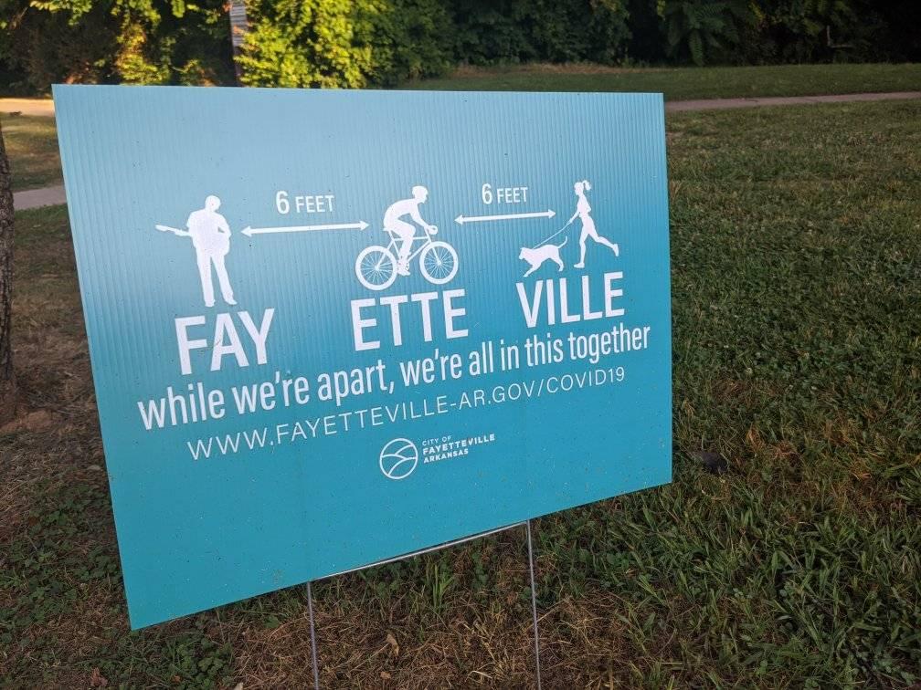
I was up before sunrise. I wanted to find a coffee shop before starting the 5.4-mile Lake Fayetteville trail, a paved multi-use path that showed up on my Alltrails app. I didn't find a coffeeshop in the dark, but I did get to the trail before sunrise, parking on the north-central part of the lake in an empty parking area. There are at least four parking lots for this trail around the lake and I was the first one in this one. It was quite crowded on my way back two hours later.

And what a pretty trail it is, despite being paved. It meanders through trees around the lake. There are dirt trails that get one closer to the water, but I just wanted a quick powerwalk with Zeke with little worry about catching ticks, that was on my route of travel without backtracking. This trail delivered.
My only disappointment is that it's not really a lake view trail. One only has a clear view of the lake on the west side, along the spillway. A pedestrian bridge here gets one across a waterfall. Another bridge on the south side gets one across Clear Creek, where I let Zeke stop for water. The rest of the path is through a hardwood forest of red and white oak, sassafras, red maple, river birch, black gum and pine. This tree cover made for a limited view of the sunrise.

It was already 71F when I started at 6am. The temperature inversion really brought out the fragrant wildflowers that crowded along both sides of the path. I smelled honeysuckle along the entire route. I was so impressed with all the women of all ages and sizes out exercising so early. I even saw a few men as well. People were jogging, running, cycling, dogwalking. There is also a disc golf course and mountain bike obstacle course along the path. This is a path I'd do again when in the area, although there are also a few 1800'-2000' mountains (hills) I'd enjoy bagging as well. I like northwestern Arkansas.

Springdale, AR is home to Tyson Foods. It's a busy, congested area! (J B Hunt Transport Services is headquartered in nearby Lowell, AR) I noticed the congestion better in daylight. From the lake I continued my road trip north, diverting to Eureka Springs 50 miles to the Northeast via US71 and then US62 through rolling hills. The town is listed as one of Arkansas' best small towns.
US 62 gets one to Eureka Springs via the south side. I turned north from US62, descending to the historic town with a population of 2100 and nestled at 1260.' I wanted to park and walk around, but was immediately turned off by the $5 for three hours parking signs. I found a free public parking area north of downtown, near the historic North Arkansas-Missouri railroad depot. I parked here and began my walk uphill along AR23. Traffic was steady.

All the tourists were wearing face masks. I had left mine in the Honda. I just wanted to walk around, I had no desire to go into shops to shop. Most of the stores had signs posted stating that face masks were required just to enter. I respect and agree with the ordinance. Why can't Arizonans understand this?

AR23 is Main Street, where the old city hall and theatre are. But the heft of town is along the hillside of Bridge and Cliff Streets and side streets branching off from them. I didn't have the time nor the energy to explore the entire town, but I liked what I saw. Most of the stone or red brick buildings were built in the 1880s and 1890s and are now Bed and Breakfasts, museums, art studios. Historical markers along the route explain the history of the area, built around its natural springs and developed by the railroad that brought in wealthy people for rest and relaxation.

Mature magnolia trees and other southern flora are all over town, with sweet aromas wafting everywhere. I can see why people come to spend time in Eureka Springs. Had I not done a power walk earlier in Fayetteville, I would have walked more than 2.8 miles here. I left before seeing the other half of town. Now I have a reason to come back here on my next road trip. The only disadvantage is getting to town, as it's in the hills and the roads are winding and not safe during rain storms. Dark clouds were forming to my south and the forecast called for afternoon showers. I wanted to be back on the interstate by then, and I aimed for I-44 outside of Springfield, MO.

I continued my drive east on US62, then turned northeast on AR21 to the bordertown of Blue Eye, MO, where the road signage turned to MO13. I stayed on this road until it ended at US160. I took that road into Springfield and made it to the interstate where once again the heat and fatigued forced me to stop at several rest stops for quick powernaps. It was now late afternoon.
I made it to the first rest stop in Illinois off I-70 before stopping for the night. It was the first time I saw lightning bugs (fire flies) on this trip. Those lightning bugs are a sure sign that my old home is near.
No comments:
Post a Comment